


September 28, 2026
Should you follow a river if you get lost hiking? Only when you have enough information to identify a safe route to a known destination. Finding running water does not establish where you are, how far help is, or whether the banks are passable. Before you start downstream, you need a reason to believe that moving will improve your situation.
In our Essential Survival Tips, tip 59 introduces the idea of following water when unsure. The reasoning is familiar: small streams join larger waterways, and people often build roads and communities near water. But the distance and terrain between you and those people can make that advice impractical. A short tip needs a longer explanation before someone relies on it in the field.
Imagine losing the trail in the mountains and hearing running water below you. Walking toward it feels purposeful. Once you reach the creek, you have something recognizable to follow, and downhill travel seems promising. Before committing, ask yourself what you actually know about that creek. Can you identify it on your map? Is there a reachable destination downstream? What would make you turn back?
Why following water can seem like a sensible choice
A stream is a continuous feature that can help you understand the terrain. Its bends, tributaries, and relationship to surrounding slopes may help you compare what you see with a topographic map. Where a maintained trail follows a waterway, the stream can also help you keep track of your progress along an established route.
The uncertainty begins when you assume that every waterway offers a walkable connection to people. A river may eventually pass a town while the section in front of you enters a canyon. A road shown near the water may sit far above it, separated from you by steep terrain. Being able to name a destination downstream does not establish that you can reach it safely from your position.
Water can help you interpret a route. You still have to evaluate the route itself, including the ground you would cross and the distance you would travel. That evaluation becomes much harder when you cannot establish where you are.
Stop before you choose a direction
When you realize you are lost, pause and work out your last certain location. Check your map and available navigation tools. The National Park Service recommends safely retracing your steps when possible and safe. If you cannot establish a safe way back, call 911 when you have service or use the emergency function on your satellite communication device. Give rescuers your location, your last certain position, the number of people with you and any injuries. Once you have contacted rescuers, stay at the location you provided unless an immediate threat requires you to move, and communicate any necessary relocation if you can.
Our guide to the first ten minutes after getting lost hiking explains that initial assessment in more detail. For the decision about following water, the important question is whether you have enough information to choose a destination and assess the journey. Feeling uncomfortable about waiting does not supply that information.
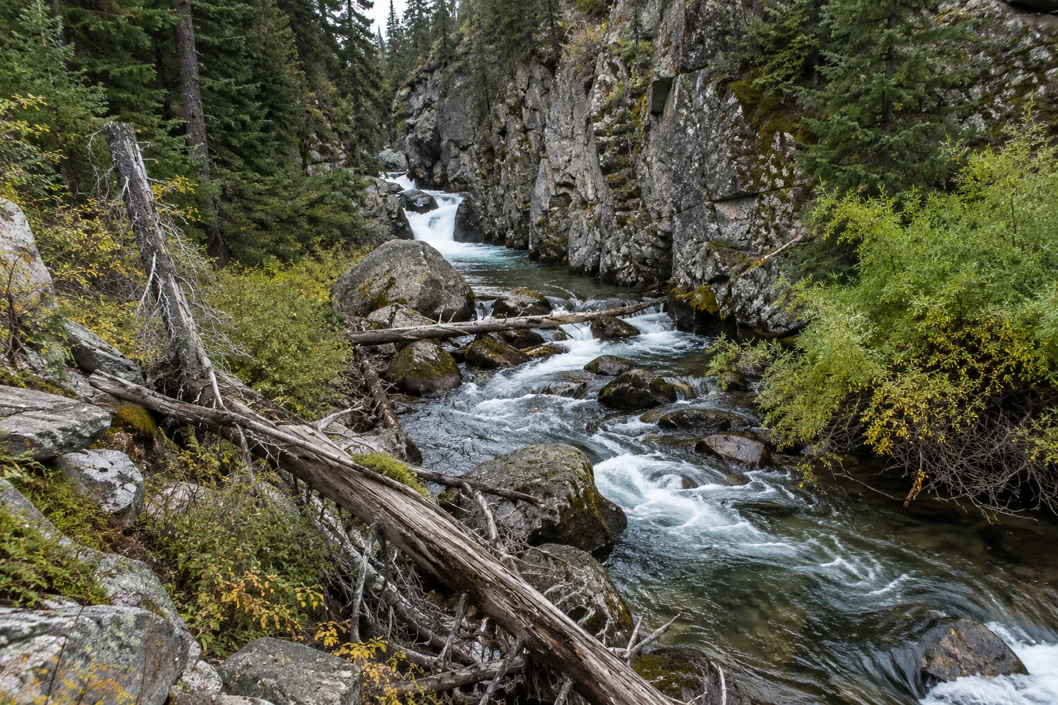
Why following a stream can get you into trouble
The terrain beside the water may stop you
Picture a creek running through an open meadow. From where you stand, its banks look easy to walk. Farther downstream, the valley narrows. Brush fills the space beside the water, and a rock wall blocks the bank. Continuing now means climbing around the obstruction, crossing the creek, or turning back.
In that situation, the easy walking at the start told you very little about the route ahead. You may be able to see the next bend without seeing the next obstacle. A route that begins with easy walking can require decisions you are not equipped to make safely once you have committed more time and energy.
Avoid descending terrain that you cannot safely reverse simply to see whether the route improves below. If you encounter a drop, an unstable slope, or a confined channel, stop before the obstacle removes your options. The effort you have already spent getting there is no reason to accept a more dangerous route ahead.
Crossing the stream creates a separate risk
Following a bank can lead to pressure to cross when the easier-looking ground switches sides. Each crossing needs its own assessment. A successful crossing upstream does not tell you whether the next one is safe, and a clear view of the bottom does not establish secure footing or manageable current.
The National Park Service guidance on river crossings emphasizes planning alternatives when water is too high, cold, or swift. Water levels and currents can change, and hazards downstream add to the consequences of a fall. For a lost hiker, reaching a questionable crossing should prompt a reassessment of the entire plan. Do not enter dangerous water to preserve a direction you chose without knowing where it would take you.
Weather upstream can change your situation
A creek is connected to terrain you may not be able to see. Rain upstream can send floodwater through your location even when the sky overhead looks clear. Narrow canyons and dry washes deserve particular caution because rising water can leave very limited room to escape.
Zion National Park identifies rising water, sudden muddiness, floating debris, and an increasing roar upstream as potential warning signs. If a flash flood threatens, reach higher ground immediately. Do not enter or try to cross floodwater, and do not delay your escape to collect equipment. When choosing where to stop, avoid placing yourself in a channel that could carry floodwater.
When a waterway can help you navigate
Now imagine a different situation. You have established your position on a map and confirmed it against the surrounding terrain. A maintained trail follows the creek to a known trail junction. You can estimate the distance, assess the available daylight, and check whether your condition and equipment are suitable for that route. There are no known closures or hazards preventing travel.
Here, the creek helps you follow and confirm a route you have identified. You can state where you intend to go and what evidence supports your choice. If the trail disappears or the terrain no longer matches the map, you have a reason to stop and reassess before continuing.
That is a much stronger basis for movement than assuming the next bend will reveal a road. If you cannot explain where you are going beyond “downstream,” the water has given you a direction without resolving your navigation problem.
Account for the return journey and your remaining energy
A route assessment should include the possibility that you will need to reverse it. Suppose you spend an hour descending beside a creek and reach an obstacle you cannot pass. Your next task may be climbing the same ground with less daylight and more fatigue. The descent was only part of the energy cost.
Think about what remains available if the route fails. Would you still have enough time and strength to return to a known location or establish shelter? Could everyone in your group manage the return? A plan that depends on the next bend providing an exit leaves very little room for changing conditions.
Avoid choosing an arbitrary distance to travel simply because it sounds manageable. A mile on a maintained trail and a mile through brush beside a steep creek can be very different undertakings. Judge the actual ground and the condition of the person having the most difficulty.
Finding water does not require following it
A stream may help you identify your position or provide access to water without becoming your travel route. Separate those decisions. Collecting water at a safe location does not commit you to moving downstream, and the presence of water does not make the bank a suitable place to wait or sleep.
Also, clear water is not proof of safe drinking water. The CDC advises treating water from natural sources and explains the limits of different treatment methods. Choose a method suited to the hazards present. A stream can be useful while still requiring caution about access, treatment, and where you position yourself nearby.
Should you keep moving or stay put?
Before you commit to following a waterway, try to answer a specific question: what evidence shows that this route gives you a safer, achievable way out? That evidence might include a confirmed location, a mapped trail, and a known destination within your capabilities. It should also include a way to recognize when the plan is no longer working.
If you cannot establish a safe route, contact help when possible and prepare to remain in a safe location. With no communication available, the National Park Service advises conserving resources, finding protection from the weather, and signaling for rescue. Uncertainty about when help might arrive does not make an unknown downstream route predictable.
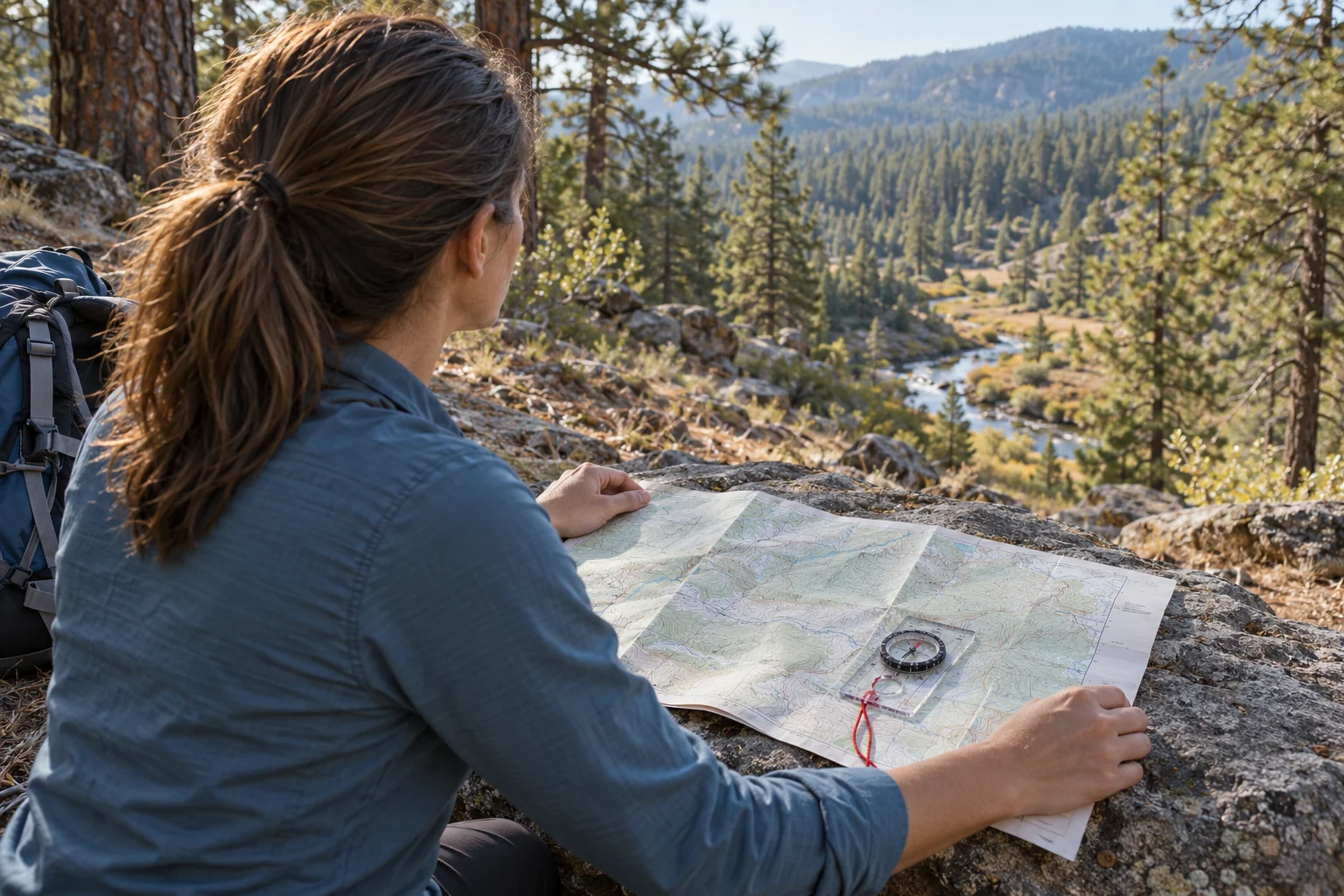
Learn to read the route before you need an escape
The useful skill behind this entire decision is terrain association: comparing the ground around you with the map in your hands. A creek, a tributary junction and a nearby ridge can help you narrow down your position when they agree with the map. One familiar-looking bend is not enough. You want several features supporting the same conclusion before you trust it.
Our Land Navigation: Map & Compass Skills for the Backcountry class teaches topographic map reading, compass use, terrain association and route planning through field exercises. Students practice working with contours, bearings, distance and recognizable terrain so their decisions have something concrete behind them. Those skills apply directly to the question in this article: can you identify this drainage, work out where it goes and choose a route your group can actually travel?
Before your next trip, practice on a familiar route while conditions are comfortable and you have time to check your work. Compare a creek with its representation on the map, identify trail crossings and look at how tightly spaced contours describe steep ground beside the water. Keep a map and compass available and learn to use them before your phone battery or your confidence runs low. You can find the course details and current availability on the navigation class page.
The next time you hear “follow the water,” ask where it leads and how you know. If you can identify the route, assess its hazards and explain why moving improves your position, the water may be a useful reference. If all you have is a downhill direction and a hope that people live somewhere below, stop and work through the decision before spending the daylight and energy you may need to stay safe.
Image note: The hiking and stream images in this article are original AI-generated educational illustrations, not photographs of an actual emergency or class.
About the Author
Jason Marsteiner is the founder and lead instructor at The Survival University and the author of Wilderness Survival Guide: Practical Skills for the Outdoor Adventurer. Raised in Colorado, he teaches practical survival skills and backcountry decision making to help people prepare for situations where help may be hours away.
